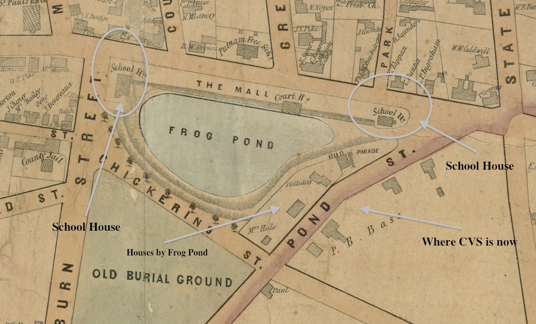
Skip to content

The Newburyport Blog

About Newburyport, MA, 35 miles northeast of Boston on the mouth of the Merrimac River

  • Home
  • About
  • Contact
  • Map

1851 Map showing the schoolhouses

Published September 21, 2016 at 1080 × 653 in The Two Schoolhouses that Once were near Frog Pond on the Bartlet Mall, Newburyport, MA.
← Previous Next →
1851 Map showing the schoolhouses

1851 Map showing the schoolhouses

1851 Map showing the schoolhouses

Proudly powered by WordPress
2026 © The Newburyport Blog